
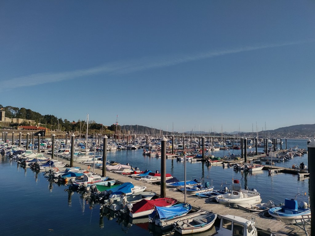
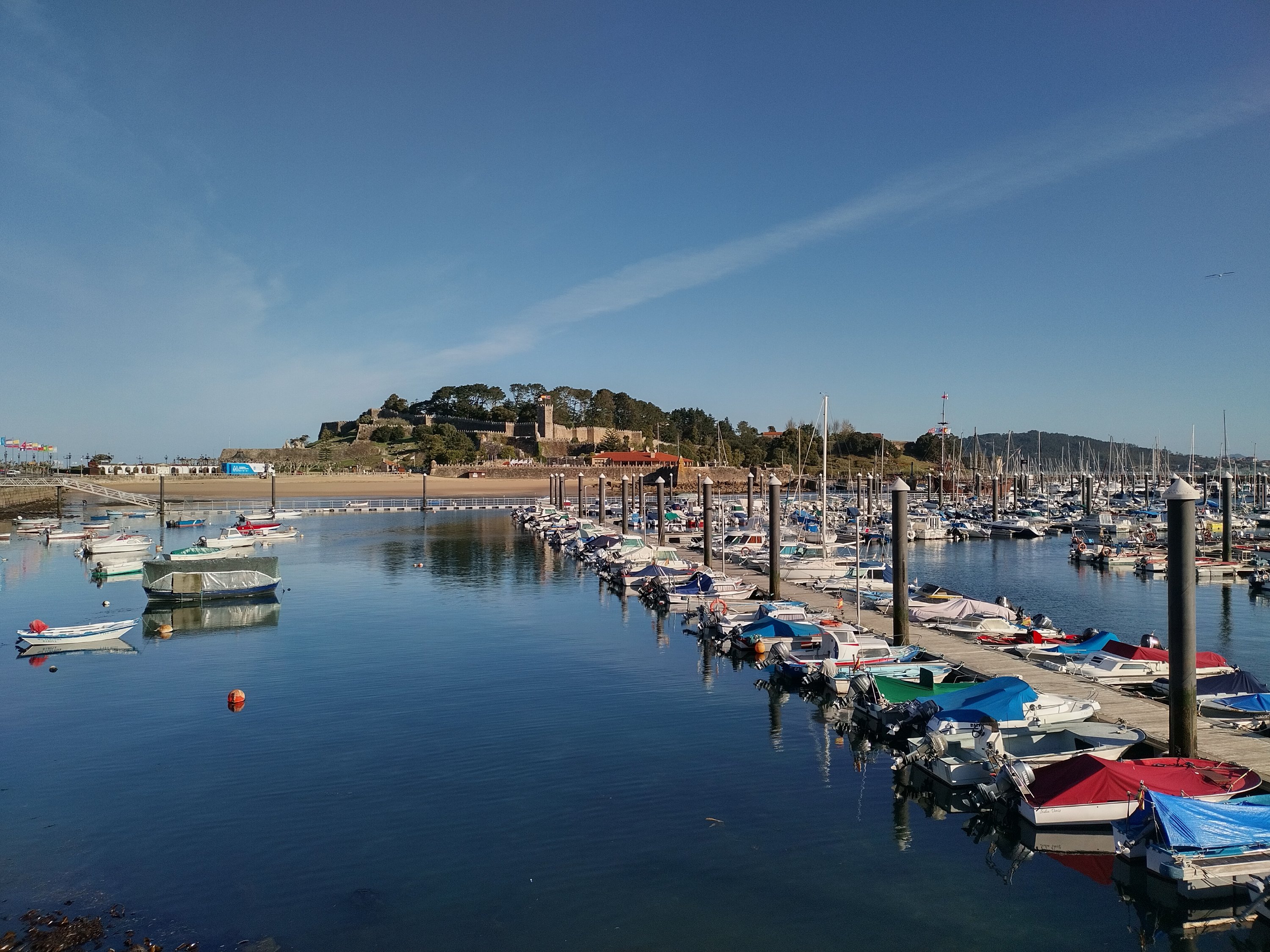
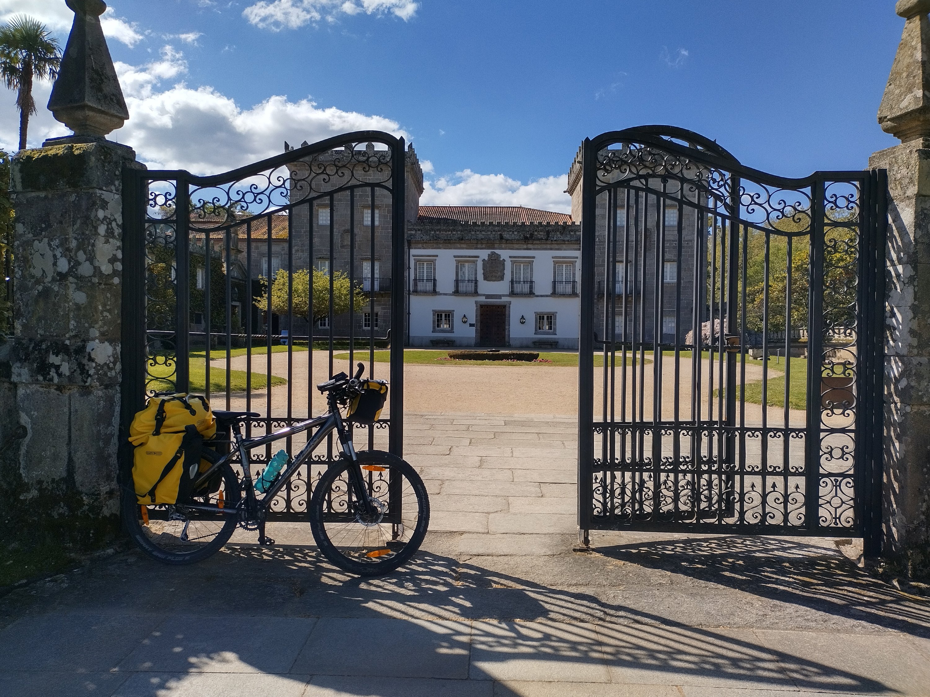

The day started beautifully although it was VERY cold. The route ran alongside s not too busy road on the (not so bright) yellow tarmacked cycle track.Baiona is beautiful, Vigo not. The latter is a huge city and it took me hours to get through it on busy roads mostly without cycle lane. After that it was mostly on quieter roads with a long but not too steep climb. I didn’t see the sea again after Baiona When I arrived in Redondela I must have come very close to my accomodation, but my Garmin stated sending me up and down and round and round. When I finally stopped to look in more detail, I saw that it wanted to send me another 45 kilometres and over 500 metres of elevation! After that I ignored it and found my way to my accomodation using Google maps. It turned out to be 54 kilometres and 750 metres climb instead of the planned 45/570. I will never know what went wrong with Garmin. It’s as though it wanted to do the whole route all over again!
Der Tag fing wunderbar an, obwohl es SEHR kalt war. Die Route verlief neben einer nicht zu stark befahrenen Straße auf dem (nicht mehr so hellen) gelben, asphaltierten Radweg. Baiona ist winderschön, Vigo nicht. Letzteres ist eine riesige Stadt und ich habe Stunden gebraucht, um sie auf stark befahrenen Straßen, meist ohne Radweg, zu durchqueren. Danach ging es meist auf ruhigeren Straßen mit einem langen, aber nicht zu steilen Anstieg. Als ich in Redondela ankam, muss ich sehr nah an meiner Unterkunft vorbeigefahren sein, aber mein Garmin schickte mich hoch und runter und hin und her zu schicken. Als ich endlich anhielt, um genauer hinzusehen, sah ich, dass es mich weitere 45 Kilometer und über 500 Höhenmeter schicken wollte! Danach ignorierte ich es und fand den Weg zu meiner Unterkunft über Google Maps. Statt der geplanten 45 Kilometer und 570 Höhenmeter bin ich 54 und 750 gefahren! Ich werde nie erfahren, was bei Garmin schief gelaufen ist. Es ist, als wollte er die ganze Strecke noch einmal machen!

